


Historical Map World War I


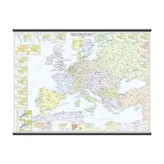
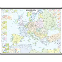
- ✅ Carta storica dettagliata della situazione politica europea e mediterranea allo scoppio della Prima Guerra Mondiale.
- ✅ Include 21 tavole tematiche su movimenti del fronte, alleanze, governi, composizioni etniche e altro ancora.
- ✅ Plastificazione opaca antiriflesso per garantire ottima leggibilità in qualsiasi condizione di luce.
- ✅ Montaggio robusto con aste di sostegno in plastica e tubo protettivo per facile conservazione e trasporto.
- ✅ Dimensioni 132x99 cm e scala 1:3.750.000, ideale per scuole, biblioteche e appassionati di storia.


Full description
Carta Storica Europa e Mediterraneo – Prima Guerra Mondiale (1914-1918)
Scopri la situazione politica dell’Europa e del bacino del Mediterraneo allo scoppio della Prima Guerra Mondiale (1° agosto 1914). Questa carta storica dettagliata offre 21 tavole tematiche per comprendere i movimenti del fronte, le alleanze, le forme di governo, le composizioni etniche e le conseguenze del conflitto.
Main Features:
Tavole Tematiche Dettagliate:
- 6 tavole dedicate ai movimenti del fronte
- 5 tavole sui cambi di alleanza
- 2 tavole sulle forme di governo (prima e dopo)
- 2 tavole sulla composizione etnica (prima e dopo)
- 2 tavole sulla situazione politica mondiale (prima e dopo)
- 1 tavola sulla situazione politica finale europea
- 1 tavola sulla spartizione coloniale della Turchia
- 1 tavola sul genocidio armeno
- 1 tavola sul bilancio complessivo delle vittime
Plastificazione Opaca Antiriflesso: Garantisce una ottima leggibilità in qualsiasi condizione di luce.
Montaggio Robusto: Completata con aste di sostegno in plastica e confezionata in tubo protettivo resistente per facile conservazione e trasporto.
Dimensioni: 132x99 cm, perfetta per aule scolastiche, biblioteche e studi storici.
Scala: 1:3.750.000, per una visione chiara e dettagliata dell’Europa e del Mediterraneo.
Recommended Use:
Ideal for:
- Scuole, università e corsi di storia
- Biblioteche e centri di studio storico
- Appassionati di storia e geografia politica
Questa Carta Storica Europa Prima Guerra Mondiale è uno strumento educativo completo, che permette di analizzare cause, fasi e conseguenze del conflitto in modo chiaro, dettagliato e visivamente immediato.
This article can be found at p. 174 Of our primary and secondary catalog